
Wild TAK
DroneWild has created a wildlife-specific platform for management and conservation operations in the field.
Overview
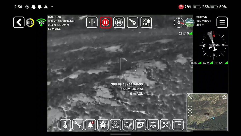
DroneWild has created a wildlife specific platform for management and conservation operations in the field. Utilising military based software, WildTAK allows people on the ground unparalleled situational awareness of where points of interest are.
Our software platform enables operators to track and record the live position of the drone, active rangers/conservationists in the field and detected wildlife on a dynamic 3D map. This real-time geospatial awareness greatly enhances safety, precision, and efficiency during wildlife monitoring operations.
Designed with field users in mind, our system bridges the gap between data collection and practical application. By reducing guesswork and improving situational awareness, individuals or organisations can cover more ground, make better decisions, and manage wildlife with greater care and clarity.
Key Features
Live Tracking
Track drones, rangers, and wildlife in real time for safer and more efficient field operations.
3D Mapping
Visualise terrain, wildlife activity, and points of interest together on an interactive 3D map.
Field-Friendly
Designed for easy use in the field, providing critical data quickly and intuitively.
Smart Decisions
Reduce guesswork and make informed management decisions with clear, actionable insights.